April, 2022
This is a blog about the London Borough of Sutton, which contains a brief history of Sutton town that was originally used to create an entry on Wikipedia. The history is a condensed summary of the large amount of information found on Sutton from history books and census websites, all of which are listed below the history.
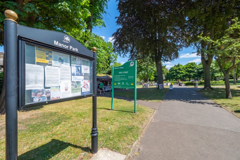
Location of Sutton
The Sutton this document refers to is in Greater London in the UK. Most people use "Sutton, Surrey" when addressing letters to people in the town of Sutton because the town used to be part of the county of Surrey. But it would be more accurate to use "Sutton, London" because since 1965 the town has been the heart of the London Borough of Sutton. And also because there is another — albeit very tiny — Sutton in Surrey proper (which can be found about eight kilometres south-west of Dorking).
Sutton is 16.5km south-south-west of Westminster in central London, and 7.5km south-west-west of Croydon. In fact, no matter where in the world I am, it seems that telling people I'm from Sutton will leave them clueless. But telling them that Sutton is near Croydon will make them go "oh, near Croydon, gotcha".
The postcode districts found in the London Borough of Sutton are SM1 (Sutton, Rosehill, Benhilton), SM2 (Cheam south of the railway), SM3 (Cheam north of the railway, North Cheam), SM4 (barely inside the borough), SM5 (St. Helier, The Wrythe, Carshalton, Carshalton Beeches, Carshalton On The Hill, Little Woodcote), SM6 (Hackbridge, Beddington, Wallington, South Beddington), SM7 (barely inside the borough), and some postcode districts that just sneak into the borough but generally aren't considered Sutton postcodes, such as KT4, KT17, CR0, CR4, CR5, CR8. The SM postcode area also includes a lot of towns that are not inside the London Borough of Sutton.
Geology of Sutton
Sutton is one of several towns located on a narrow bed of Thanet sand which extends from Croydon in the east, to Epsom in the west. To the north of this belt is clay, and to the south is chalk. The belt of Thanet sand allowed wells to provide clean water, whereas the clay to the north mostly offered surface water of unsuitable quality and the chalk to the south was too deep to sink wells into. This feature attracted settlements to the sand belt from a very early date. The most notable of these were Epsom, Ewell, Cuddington, Cheam, Sutton, Carshalton, Wallington, and Waddon.
History of Sutton
When the Saxons were settling England, their preferred method was to divide the country into square parishes centred around the church, manor house and village, with cultivated fields around these, and common grazing ground on the outside. The settlements that had squeezed onto the belt of Thanet sand were too close together to allow for this arrangement, so the parishes in this area were made long and narrow, with the church, manor and village still the centre, but with cultivated fields next to these, and common grazing ground beyond. Consequently, Sutton's parish is about three miles long, and about a mile wide.
There is evidence that the region was inhabited well before the Saxons arrived. Archaeological excavation in Beddington in 1871 uncovered a Roman bath house and villa. More careful excavation since then has uncovered further evidence of land use during the Roman era and indications that the site was frequently used from the end of the first century until well into the fourth century. A 1981 excavation also uncovered Bronze Age pottery and tools, and a Neolithic ground flint axe.
Sutton was recorded as Sudtone in a charter of Chertsey Abbey believed to have been drawn up in the late seventh-century when the Manor was granted to the Abbot of Chertsey by Frithwald, Governor of Surrey. Some sources state the early name as Suthtone or Sudtana instead. Other place names that appear in this charter are Bedintone (Beddington), Cegeham (Cheam), and Aeweltone (Carshalton).
The name Sutton is often assumed to have meant "south town", but Sudtone probably meant "south enclosure", from the Anglo-Saxon "ton" for enclosure. In Surrey, an early enclosure was usually a farm, and in Sutton it most likely refers to Oldfields farm, which lay on the southern slope from Rose Hill to the Angel. It was a "south" enclosure because it lay south of the Roman road Stane Street, which formed part of the northern boundary of the parish of Sutton, and is now traced by the modern roads Stonecot Hill and London Road.
William The Conqueror's Domesday Book of 1086 assesses Sudtone:
In the time of King Edward it was assessed at 30 hides; now at 8½ hides. There are 2 carucates in the demesne, and 29 villains and 4 cottars with 13 carucates. There are 2 churches, and 2 bondmen, and 2 acres of meadow. The wood yields 10 swine. In the time of King Edward it was valued at 20 pounds, now at 15 pounds.
The Domesday Book also states that the Abbot of Chertsey held the Manor. This remained so until 1538 when the Manor was sold to King Henry VIII, along with the manors of Ebisham (Epsom), Coulsdon, and Horley. They were all then granted to Sir Nicholas Carew of Beddington in that same year. When Sir Nicholas was sentenced to death for treason, the King seized the manors, and they remained possessions of the Crown until King Edward VI granted part of them to Thomas, Lord of D'Arcy of Cliche, but kept the Manors of Sutton, Ebisham and Coulsdon. Queen Mary later restored the whole of these manors to Francis, only son of Sir Nicholas Carew. At a later date, and for unknown reasons, the Manor once more became possession of the Crown until King Charles II granted it to the Duke of Portland1 in 1663, who sold it in 1669 to Sir Robert Long, who sold it that same year to Sir Richard Mason. The Manor has regularly changed hands since.
In 1755, a turnpike road from London to Brighton was constructed, intersecting with a turnpike road from Carshalton to Ewell which was constructed at the same time. The toll bars for Cheam Road and Brighton Road were originally located at right angles to each other by the Cock Hotel, an inn that sat on the south-east corner of the intersection of the turnpikes. The toll bar for Carshalton Road was where the police station is now, though the existence of this toll bar is disputed. All three of these toll bars moved further away from the intersection after a number of years to account for the growth in Sutton's size. The northmost toll bar was situated where Rosehill is now. The toll bars remained in effect until 1882.
Sutton railway station was opened on 10 May 1847. Likely due to the new, fast link to central London, Sutton's population more than doubled between 1851 and 1861. New housing to accommodate this growth was constructed in the Lind Road area and called the "New Town". Still today a pub on the corner of Lind Road and Greyhound Road is named The New Town.
Sutton Water Company2 was incorporated in 1863, and the provision of water mains finally allowed houses to be built outside of the area defined by the water-yielding Thanet sand. The Lord of the Manor at the time, Mr Alcock, sold land that was previously unsuitable for residential buildings, making it available for new construction. Sutton's population more than doubled between 1861 and 1871.
The ancient parish of Sutton became a Local Government District in 1882 (Sutton Sanitary District) and then an Urban District Council in 1894. Sutton and Cheam were amalgamated in 1928 to form Sutton and Cheam Urban District, which gained municipal borough status in 1934. The London Borough of Sutton was formed in 1965.
Footnotes
1 I think the text source is referring to Charles Weston, 3rd Earl of Portland — the title Duke of Portland was not created until 1715.
2 Sutton Water Company survived until the 1990s, when it merged with the East Surrey Water Company to form Sutton and East Surrey Water PLC. Source: Merstham History (2006-02-02).
References
Charles J. Marshall (1971). History of Cheam & Sutton. S.R. Publishers Ltd. ISBN 0-85409-649-3.
Robert P. Smith (1970). A History of Sutton AD 675–1960. Published by Derek W. James, no ISBN.
Martin Andrew (2001). Around Sutton. Frith Book Company Ltd. ISBN 1-85937-337-2.
http://www.suttonguardian.co.uk/towninfo/history/ [no longer found on site], Sutton Guardian: Our Town: History (2005-10-12).
London Borough of Sutton: Heritage & culture. (2008-10-31).
Sutton Surrey through time (2006-02-10).
Lesley Adkins & Roy Adkins. Excavations at Beddington, 1981. Pre-printed from the London Archaeologist, Vol. 4 No. 8 (Autumn 1982).